Frozen Peak Stage Guide
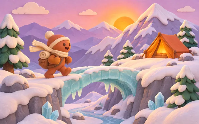
Place names and markers on this page come from the scene module. They are a scene scale for the art, not surveyed heights and not a claim about a real place.
This guide is the map of Frozen Peak. It does not change the bands. Use it to know what you are looking at while the score pulls the crowd along.
Where does the scene preview mount?
This box is the mount for the Frozen Peak preview. It stays empty until that scene is connected. When motion is reduced, the preview is meant to show final positions only, with no travel animation.
What will you see on Frozen Peak?
Frozen Peak is one of four scenes. The regions below are the ones this guide knows about. 32 of them are listed, and the key marker to remember is 4,800 m. The picture moves when your score moves. A miss leaves you where you were.
How do these places line up with the score?
Higher markers mean a higher score, not a harder prompt. The prompt weights are the same on every scene. If you want the arithmetic, open scoring . If you want the habits, open tips .
What should you watch while you play?
Watch the prompt, not the scenery. The scenery is a reward for points you have already earned. Passing is allowed and scores zero. The rules cover the clock, the pass button, and the difference between the daily and unlimited.
Cinder Foothills
Lantern Gate
Marker: 240 m
A clay arch holds a paper lantern at the start of the climb.
Pebble Switch
Marker: 330 m
The trail swaps from round gravel to packed snow on a tight turn.
Cedar Lean-to
Marker: 420 m
A three-sided paper shelter sits just off the path.
Brook Ice
Marker: 510 m
A stream has frozen into a pale ribbon beside the trail.
Marker Cairn
Marker: 600 m
Rounded stones are stacked to point at the next bend.
Wind Pocket
Marker: 690 m
A dip in the slope where the gusts ease for a few steps.
Fir Saddle
Marker: 780 m
The last dense trees before the hillside opens.
Hollow Camp
Marker: 860 m
A flat shelf with a ring of stones and a view back down.
Switchback Timber
First Cut
Marker: 980 m
The trail turns hard and the valley falls away below.
Rope Post
Marker: 1,100 m
A clay post carries a paper rope for the steeper pitch.
Snow Apron
Marker: 1,220 m
A wide fan of snow that the path crosses in a straight line.
Echo Ledge
Marker: 1,340 m
A short balcony where a shout comes back a single time.
Bent Pine
Marker: 1,460 m
One paper pine leans over the trail and sheds dry needles.
Midway Cairn
Marker: 1,580 m
A clay stripe on the stones marks the middle of this range.
Cloud Step
Marker: 1,680 m
The path walks into a low cloud bank for the first time.
Timber Hut
Marker: 1,800 m
A shuttered hut stands at the top of the tree line.
Glass Terrace
Ice Lip
Marker: 1,980 m
The snow gives way to a blue-white shelf of ice.
Crevasse Bridge
Marker: 2,160 m
A narrow paper bridge crosses a dark slot in the ice.
Serac Garden
Marker: 2,340 m
Standing blocks of ice sit in rows like a quiet orchard.
Wind Comb
Marker: 2,520 m
The wind has carved the snow into even ridges.
Blue Grotto
Marker: 2,700 m
A shallow cave glows from daylight through the ice.
Cornice Walk
Marker: 2,880 m
A thin overhang that the path crosses with extra care.
Shelf Camp
Marker: 3,060 m
A leveled pad with a low clay wall turned against the wind.
Terrace Notch
Marker: 3,240 m
A gap in the ice that opens onto the last ridge.
White Spire
Spire Gate
Marker: 3,480 m
Two stone teeth leave a gap just wide enough for the path.
Ribbon Ridge
Marker: 3,660 m
A long edge with open air on both sides.
Frost Pulpit
Marker: 3,840 m
A rounded knob where the wind keeps one steady tone.
Star Camp
Marker: 4,020 m
The last flat stones before the final rise.
Needle Traverse
Marker: 4,200 m
A sideways step along a fin of rock.
Crown Snow
Marker: 4,380 m
A dome of clean snow just under the top.
Summit Shoulder
Marker: 4,580 m
The last rise, short and steep.
Spire Top
Marker: 4,800 m
The highest clay spire on this route, wrapped with a paper flag.